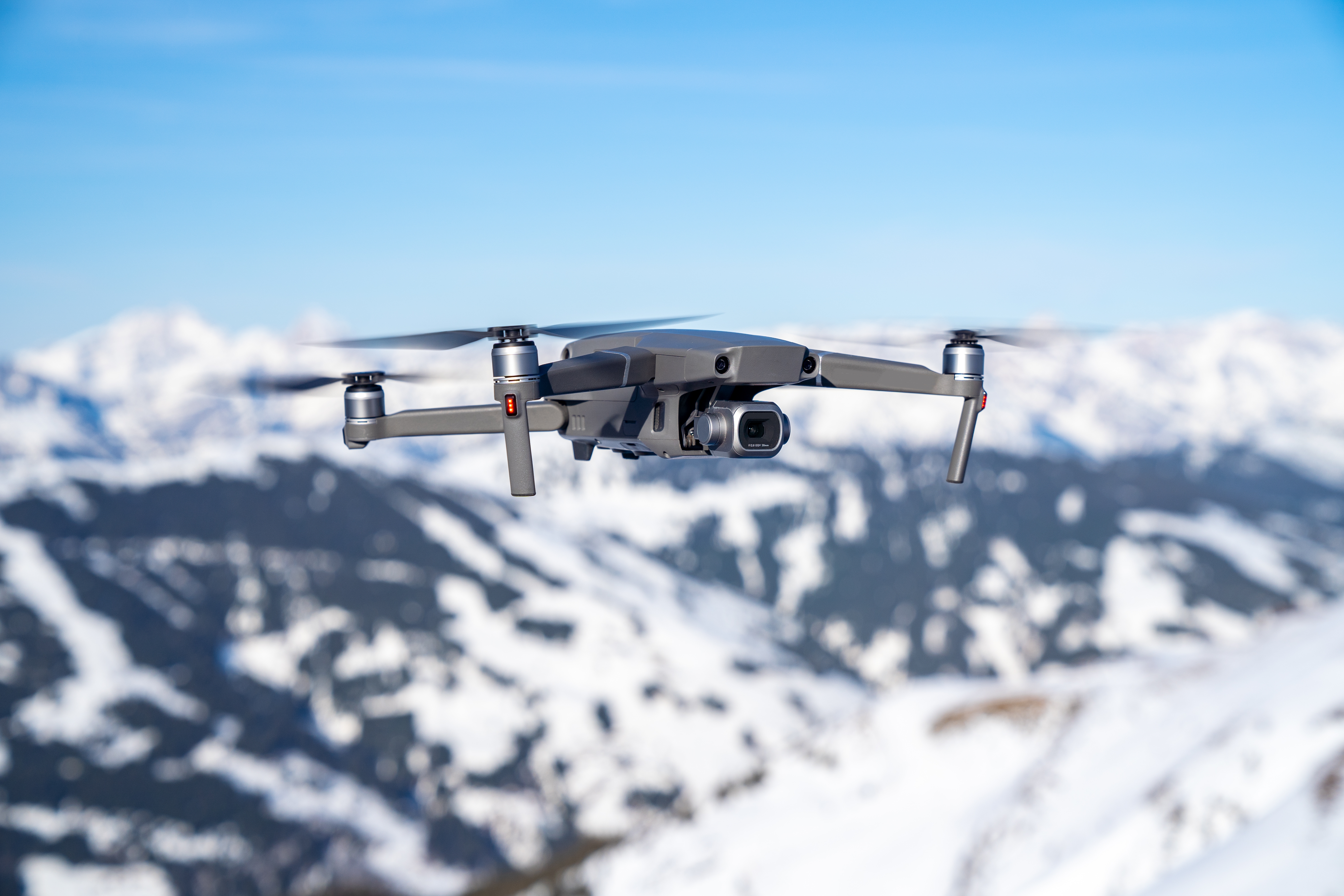
The Vantage Robotics Trace UAS Public Safety Pro is a compact, high-performance nano drone designed for professional operations in public safety, emergency response, and security applications. Weighing just 215 g, with a flight time of up to 36 minutes and a maximum speed of 52 km/h, it offers exceptional flexibility for demanding missions. The integrated Wisp Advanced camera system combines a high-resolution 48 MP EO camera with 25x digital zoom and a 640 × 480 pixel thermal imaging sensor, enabling reliable observation during both day and night operations.
Equipped with a 2.3–2.4 GHz radio system, the Trace UAS Public Safety Pro provides a transmission range of up to 5 km under line-of-sight conditions. GPS-denied navigation up to 30 m, intelligent flight functions, and AES-256 encryption support secure and flexible operations in complex environments. With an IP53 protection rating, wind resistance of up to 25 knots, and the Vision2 Ground Control Station, the drone is particularly suitable for search and rescue missions, situational awareness, and security surveillance.
1x Trace Aircraft – 2.3–2.4 GHz
1x Wisp Gimbal with 640 IR Thermal Camera
1x 2.3–2.4 GHz Radio Module
1x Vision2 Ground Control Station (GCS)
1x USB-C Dual Port Charger
2x Trace Smart Batteries
1x Trace Field Case
4x Spare Propellers
1x Trace Propeller Guard Set
1x Trace Transport Case
General
Manufacturer: Vantage Robotics
Model: Trace UAS Public Safety Pro
Drone Category: Nano UAV
Country of Origin: USA
Takeoff Weight: 215 g
Dimensions (unfolded): 307 × 144 × 44 mm
Dimensions (folded): 144 × 64 × 40 mm
Aircraft Ingress Protection Rating: IP53
Operating Temperature: -20 °C to +45 °C
Flight Performance
Maximum Flight Time: Up to 36 minutes
Maximum Flight Speed: 52 km/h
Maximum Service Ceiling: 4,000 m above mean sea level (MSL)
Wind Resistance: Up to 25 knots sustained winds
Wind Gust Resistance: Up to 45 knots
Noise Level: Less than 34 dBA at 30 m
Launch Methods: Hand launch or ground launch
Deployment Time: Within 90 seconds
Camera and Gimbal
Camera System: Wisp Advanced EO/LWIR Gimbal
Electro-Optical Camera: 48 MP
Maximum Photo Resolution: 8,000 × 6,000 pixels
Aperture: f/1.8
Horizontal Field of View (EO): 67°
Digital Zoom: Up to 25×
Horizontal Field of View with Zoom: 67° to 2.7°
Video Resolution: Full HD (1080p) or 4K
Video Recording Format: MPEG-4
Gimbal Stabilization: 2-axis stabilization with electronic image stabilization (EIS)
Controllable Tilt Range: -90° to +70°
Thermal Imaging Camera
Sensor Type: Uncooled Vanadium Oxide (VOx), LWIR
Thermal Resolution: 640 × 480 pixels
Horizontal Field of View: 50°
Thermal Sensitivity (NETD): 40 mK
Camera Configuration: Integrated EO and LWIR imaging system
Flight Control and Navigation
GNSS: Multi-constellation GPS
GPS-Denied Navigation: Visual positioning with scene illumination
GPS-Denied Flight Operation: Up to 30 m with the Public Safety Pro configuration
Obstacle Avoidance: Indoor collision prevention
Autonomous Functions: Position hold, waypoint missions, Return-to-Home (RTH), Return-to-Point (RTP), go-to-location, orbit, subject tracking, and precision landing
Additional Capability: Perch and stare
Radio Link and Communication
Radio System: 2.3–2.4 GHz
Maximum Radio Range (LOS): Up to 5 km
Non-Line-of-Sight (NLOS) Range: Up to 500 m with 30 dB attenuation
Transmit Power: 1 W
Radio Technology: Automatic channel hopping, dynamic modulation, and power adjustment
Encryption: AES-256
Supported Protocols: MAVLink and RAS-A
Compatible Software: QGroundControl (QGC), ATAK, WMI, MS CAPE, DroneSense, and RAC2
Battery and Charging
Battery Type: Smart Battery
Cell Configuration: 2 × 18650
Nominal Voltage: 7.4 V
Maximum Flight Time per Battery: Up to 36 minutes
Charging Time: Approximately 2 hours with a 60 W USB-C charger
Included Batteries: 2 × Smart Batteries
Remote Controller
Model: Vantage Robotics Vision2 Ground Control Station
Compatibility: Trace UAS Public Safety Pro
Supports autonomous flight missions and real-time flight control
Transport and Security
Transport Solutions: Field Case and Transport Case
Transport Case Ingress Protection Rating: IP68
Field Case Weight Including Aircraft, Two Batteries, and Spare Propellers: 670 g
Field Case Packed Volume: 1,320 cm³
Communication Encryption: AES-256
Remote ID: Optional
Blue UAS Status: Cleared
NDAA Compliance: Compliant
Designed, Sourced, and Built in the USA
Remote Data Connection: Not required
Notes
The maximum flight time of 36 minutes is measured while hovering in still air. Actual flight time may vary depending on operating conditions.
The maximum radio range of 5 km applies under line-of-sight conditions, at an altitude of approximately 122 m (400 ft), and in an uncongested RF environment.
The IP68 protection rating applies to the transport cases. The aircraft itself has an IP53 ingress protection rating.
The Public Safety Pro configuration includes the Wisp Advanced EO/LWIR camera system with a 640 × 480 pixel thermal imaging sensor and the 2.3–2.4 GHz radio system.