THE REMOTE EYE WITH FLIR VISION
Keep your staff out of the danger zone
Parrot's infrared cameras are based on high quality FLIR thermal sensors - the market leader from the USA.
The RGB image can be switched to an IR image just by on click, allowing the operator to see what he couldn't see before.
The radiumetric thermal camera can identify hotspots and determine temperature exactly.
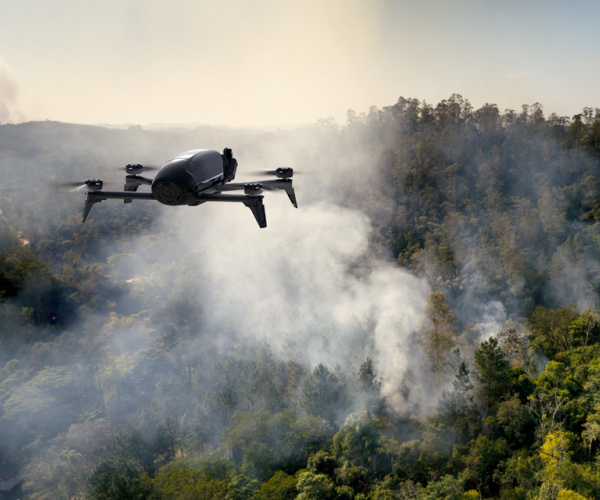
IDENTIFYING THE PLACES AT RISK
Preventing the outbreak of fires
The Professional Parrot solution makes it easy to locate and analyze fire risk areas.
Equipped with a thermal camera, it can display both real and thermographic images in color.
Easy to use, it allows you to plan flights in advance to capture images in the places you want.
The Professional Parrot solution generates a precise scan of surfaces and materials, allowing firefighters and other key people to collect the information required for a diagnosis.
No flying knowledge is required. The photos and videos taken by the drone can be accessed from a smartphone or tablet, making discussions in the field much easier.
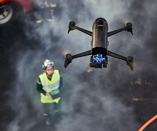
INCREASED SAFETY FOR TEAMS ON THE GROUND
Send a drone instead of firefighters for a first reconnaissance
The Professional Parrot solution gives teams a first assessment of buildings and forests on fire. Thanks to infrared sensors, the speakers can switch from conventional video to thermal vision. An essential feature for identifying heat differences, locating homes, evaluating access, monitoring the evolution of the fire and preventing hazards.
The drone retransmits live images. The user can adjust the altitude at which flyover takes place according to the height of the flames.
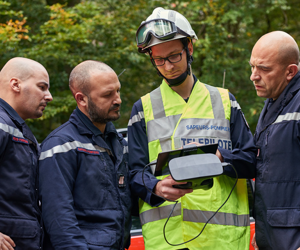
THE KEY TOOL FOR DECISION MAKING
Collecting data from the scene to better plan the action to take
Teams can carry out a thermal analysis of locations and buildings. The first agents on the scene can then make decisions quickly and increase their efficiency. Because Parrot technology can be used in emergencies, preparing for action is even faster.
The data and images collected by the drone are mapped and georeferenced, and can be viewed live from a smartphone or tablet.